 |
| 0.5 miles in, 2 miles to the top! |
Mt. Tom is part of the 110-mile Metacomet-Monadnock trail that stretches from Connecticut to New Hampshire, and is a basalt/traprock mountain unique for its cliff formations. It's also a hotspot for raptor migration (although that happens in the fall, so perhaps we will be back for some birdwatching!). The promise of dramatic cliffs as well as the chance to come eye-to-eye with some raptors sounded like an excellent use of a sunny weekend, and so we hit the road at 8 am on a Saturday afternoon to drive the 1.5 hours to Holyoke MA.
 |
| The gentle start of the white-blazed trail |
 |
| Curly ferns |
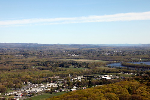 |
| The Pioneer Valley |
Breaking out on to the ridge immediately brought great views of the Pioneer Valley sprawled out before us in the sunshine, with the Connecticut River lazily meandering its way through the spring green, and the Berkshires rolling along the horizon. It was a nice change to have solid views for most of the way along a hike, as the path clambered up and down over rocky formations and followed the cliff side, sometimes hugging the edge closely enough to perhaps cause trouble for one afraid of heights! I know we at least were grateful that the wind was blowing on to the mountain and not the other way.
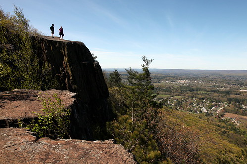 |
| Chilling on a cliff |
 |
| Tent Caterpillars |
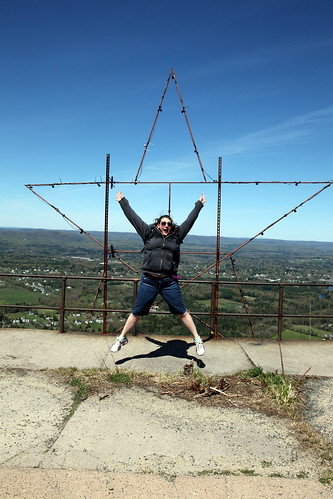 |
| Excited to be at the top! |
 |
| Water by the trail |
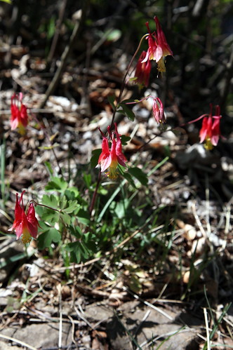 |
| Spring blooms |
A couple more photos from this trip are up on my Flickr page if you'd care to check them out!
No comments:
Post a Comment